


The Met Office Weather Warning is in force from midnight tomorrow night, until midday on Wednesday.
Snow is likely to settle on high ground, but amounts will be small.
At lower levels it's more likely to be sleet or wet snow.
Afterwards, surfaces are expected to become icey.
Here's the Met Office Weather Warning:
A band of sleet and snow is likely to continue to push across this area and towards the southeast during the first part of Wednesday. This could bring 1-2 cm of snow over the hills in the region, with a small chance of around 5 cm falling in one or two upland areas.
At lower elevations sleet or very wet snow is likely, but no settling of snow is expected.
As this band of sleet and snow clears to the southeast, temperatures will fall below freezing leading to widespread ice developing.
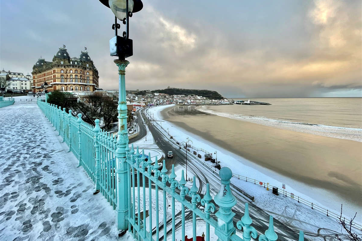
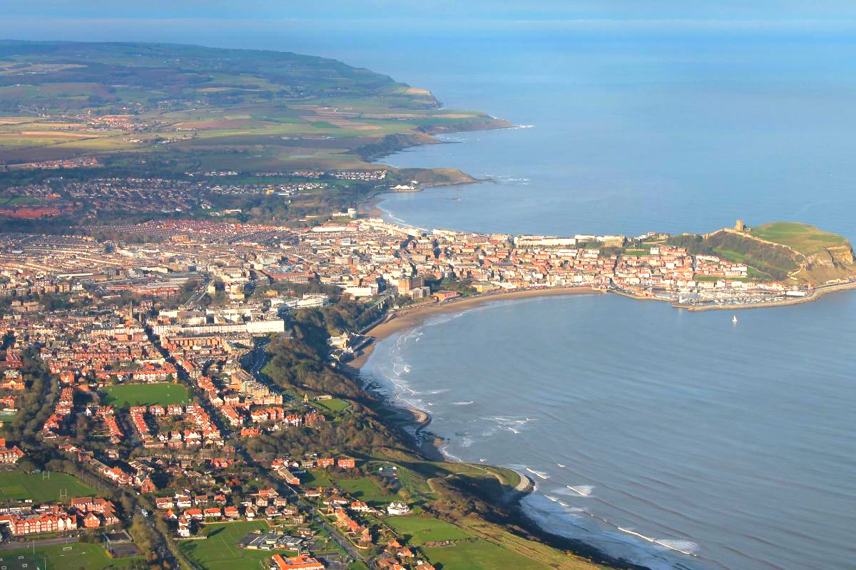
Snow showers arrived on the Yorkshire Coast overnight with this the scene on Scarborough's South Cliff this morning:
Embed not found

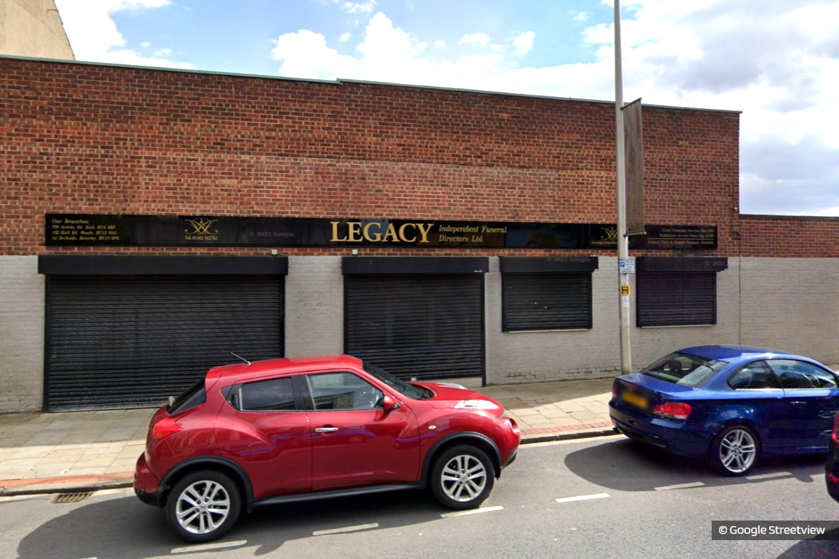 Man Charged in Legacy Independent Funeral Directors Investigation
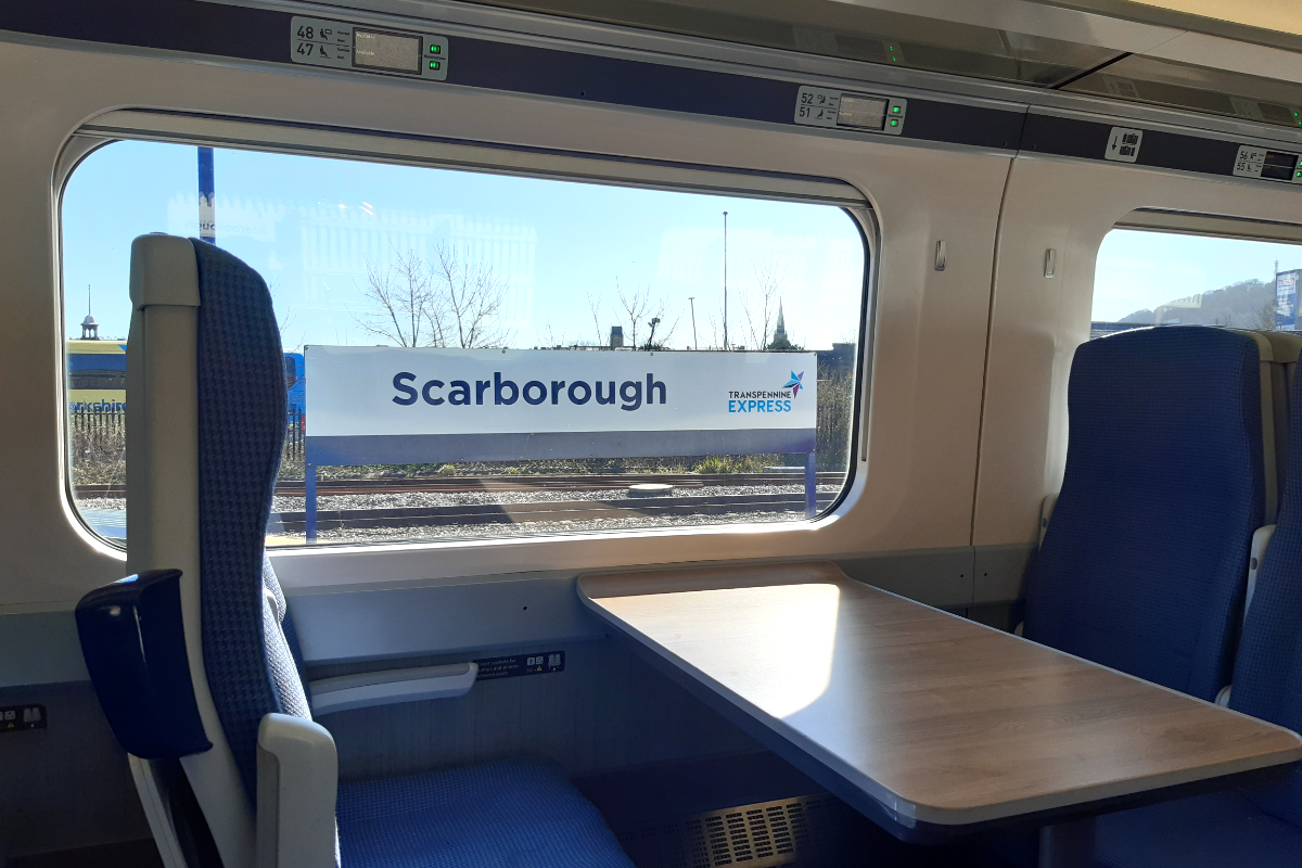 Mayor Says Half Hourly Trains to Scarborough ‘Moving in the Right Direction’
 Park and Ride Services in Scarborough and Whitby Set to Reopen This Weekend
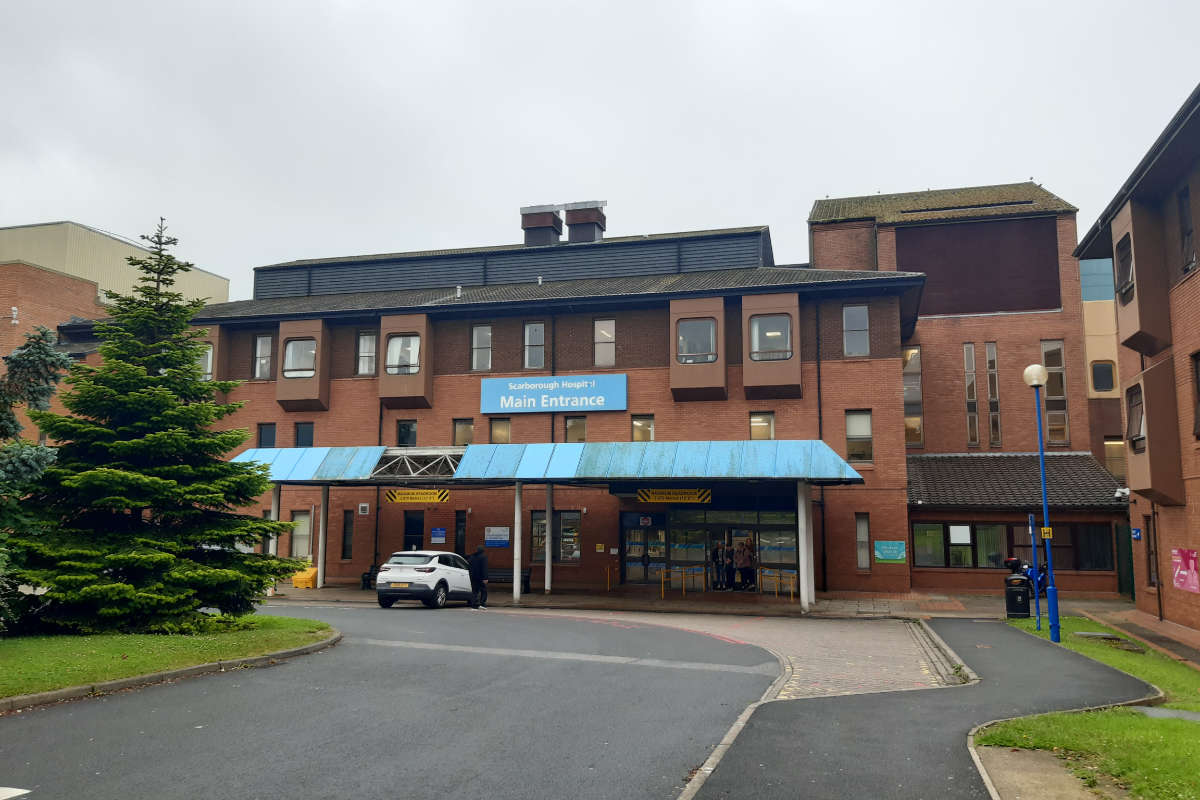 Efforts Underway to Tackle High Missed Appointment Rates at Scarborough Hospital
 MP Welcomes Investments in Scarborough and Whitby
 Scarborough to Benefit from New Flood Defence Investments
 Esk Valley Residents Attend Westminster Summit on Smart Meter Issues
 Mayor Outlines Vision for the Future of Buses in North Yorkshire
 Support for Whitby Restaurant Plan in Former Bank Building
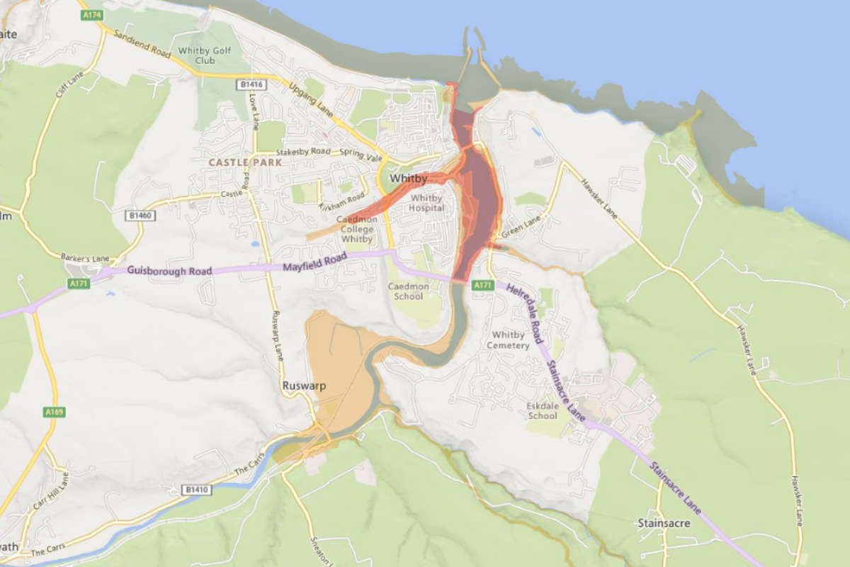 "Act Now" FLOOD WARNINGS Issued For Whitby, Bridlington & Hornsea
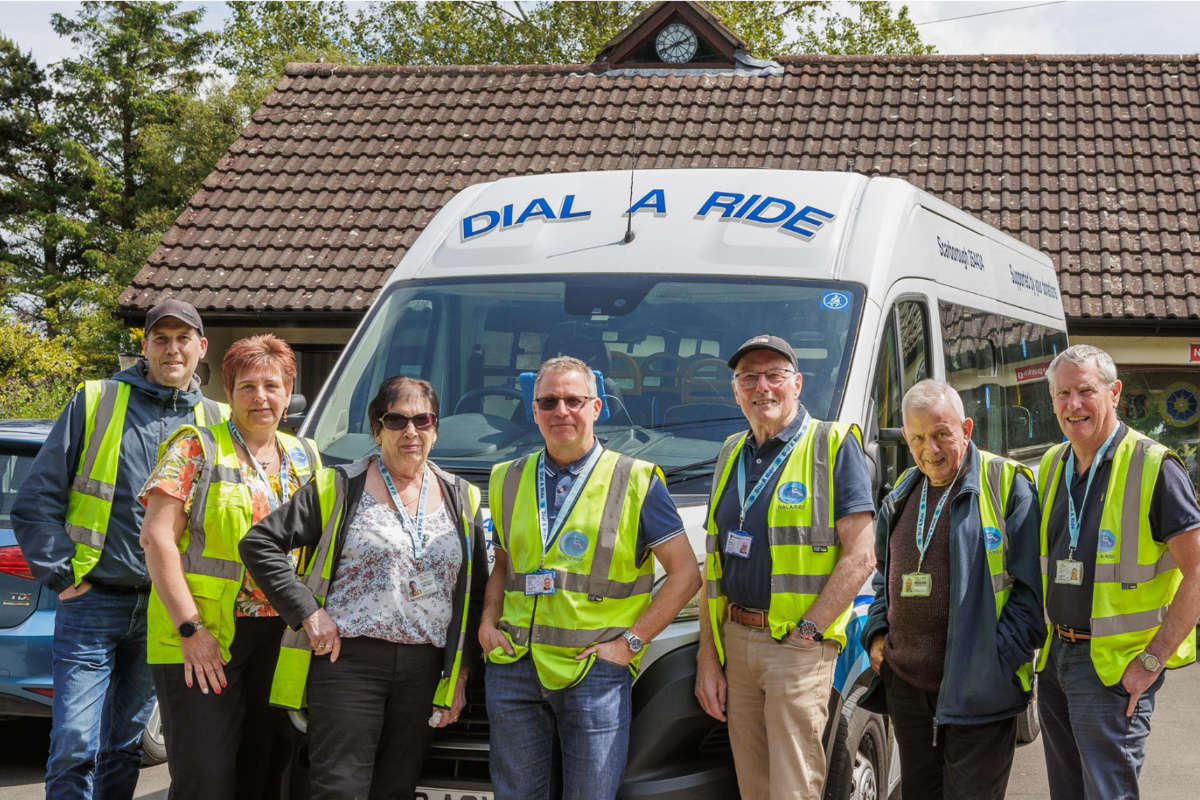 Scarborough Transport Charity Needs Help
 Yorkshire Coast Holiday Park Benefits from Multimillion Pound Investment


Comments
Add a comment