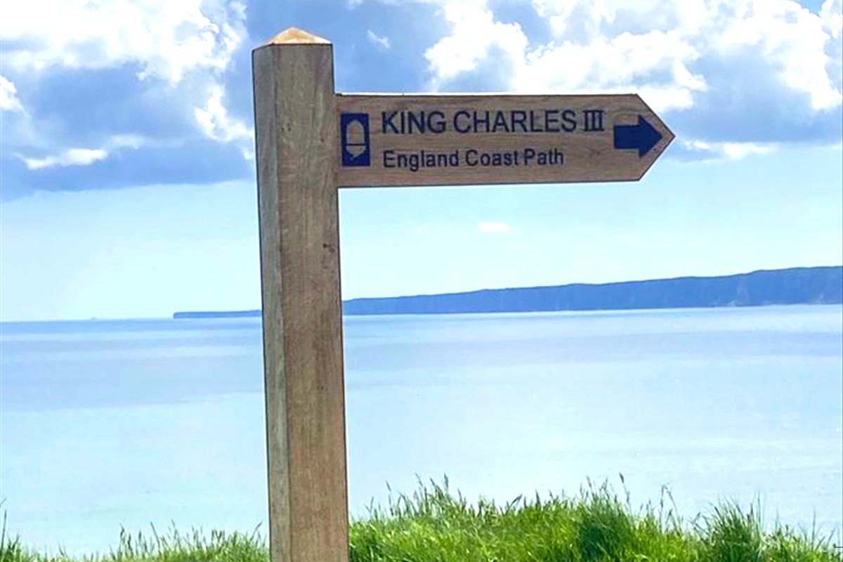
Concerns have been raised about the route of the King Charles III Coastal path following recent landslips along the Yorkshire Coast.
A section of the path near Flamborough was closed last week after a cliff slip.
East Riding Councils' Civil Engineering Manager- Richard Lewis- says planning for the path did take coastal erosion into account.
A 21 mile section of the new coastal path opened last may running from Bridlington to Filey Brigg creating a 208 mile continual stretch from Bridlington to Bamburgh in Northumberland, but now a section of the path near Flamborough has suffered from Coastal Erosion.
A cliff slip last week has damaged the steps near south landing.
Eat Riding Council's Coastal Change Manager - Richard Jackson - says the path is going to require ongoing maintenance.
Delivered by Natural England, The King Charles III England Coast Path will be a 2,700-mile long National Trail around the whole of the English coast.
Natural England has worked in partnership with local authorities to open 794 miles of the route so far and the trail will be fully walkable by the end of 2024
Work is ongoing to complete and open sections of the Humber Bridge to Filey section of the path.
East Riding Council says that work to clear the stretch of the path circumnavigating MOD Cowden is scheduled for autumn 2024, outside of the bird nesting season.The contract for the installation of culverts has been procured; landowners have been contacted regarding this work, which is expected to commence in spring 2024 and be completed later in the year. New alignments have been agreed at Tunstall, Cowden and Skirlington, resulting in an additional footway needing to be constructed at Skirlington.


 Injured Yorkshire Coast Seal Back in the Water
 Flamingo Land Welcomes Baby Giraffe
 Scarborough and Whitby MP to Launch Petition for Return of Stroke Services
 UK Mayors Being Urged to Buy Scarborough Buses
 Free Music Events in Scarborough to Raise Funds for Andy's Man Club
 Scarborough's Cross Lane Hospital Receives Heartfelt Gift
 Saint Catherine’s Becomes First UK Hospice to Launch Masonic Aware Initiative
 Candidates Confirmed for First Scarborough Town Council Elections
 Scarborough Station Set for Multi-Million-Pound Roof Renovation
 Renewed Appeal Following "Shocking" Arson in Whitby
 Six Candidates Standing to Become First Elected Mayor of Hull and East Yorkshire
 Construction to Start on Whitby Maritime Hub


Comments
Add a comment