


The Met Office says we can expect SNOW to hit the Yorkshire Coast from Monday next week, as arctic air sinks south across the country.
The Cold Weather Alert reads:
High pressure is expected to become displaced towards Greenland with a cold north to north-easterly airflow becoming established across the whole of the UK during next week. There is the potential for some wintry hazards from frequent snow showers or prolonged spells of snow in places, with low pressure near the North Sea, with impacts more likely across windward coasts in the north and east. Atlantic frontal systems may push into the south and southwest at times, more likely from mid-week, which may bring the threat of disruptive snow - low confidence at this stage.
The Met Office's Deputy Chief Meteorologist, Chris Almond, said:
Although we’ve moved into meteorological Spring there will be a distinctly wintry feel to our weather next week. Very cold air will spread across the UK bringing snow showers even to sea level in the north on Monday and these snow showers could spread further south on Tuesday. With freezing overnight temperatures and the risk of ice it is likely weather warnings will be issued for Monday and Tuesday once the detail of potential impacts becomes clearer, so keep an eye on the Met Office forecast.”

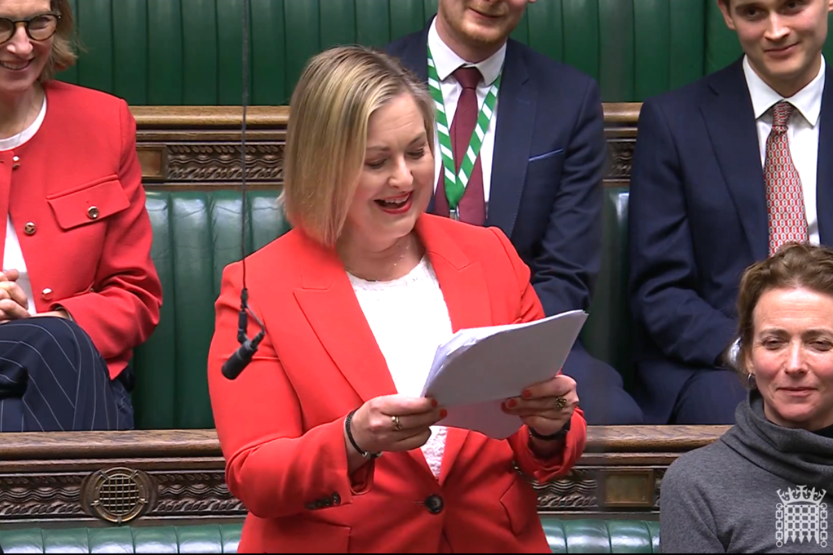 Scarborough and Whitby MP Supports New Coastal Communities Minister
 Scarborough School Uniform Giveaway
 Stephen Walker Bags Hattrick As Scarborough Put Four Past Marine
 Whitby Town Out Of Bottom Four After Last Gasp Drama
 Scarborough Rugby Celebrate Best Finish- Hornsea Promoted
 In-Form Brid Shock Promotion Chasers
 Pickering Town End Season All Square
 New Local Plan For East Riding
 Pickering School Wins National Accolade
 Charity’s New Filey Holiday Home Will Support Yorkshire Families
 Health Chief Reports Teen Bullying Worries in North Yorkshire
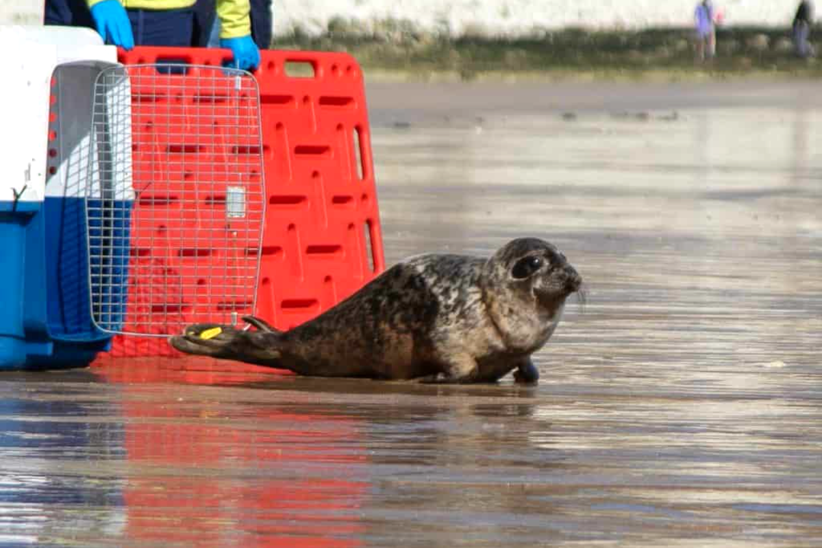 Injured Yorkshire Coast Seal Back in the Water


Comments
Add a comment