


Road improvements worth £3.5m are due to be carried out in the East Riding this spring and summer to help protect against potholes and other damage.
East Riding of Yorkshire Council says it is investing the money in its annual surface dressing programme, which is due to begin on 16 April and is expected to take 13 weeks to complete, depending on the weather.
The programme will cover all types of roads, from A roads to unclassified roads. It will upgrade 139 sections of road in the area - around 69 miles in total, which is the same as a straight road from Beverley to Hartlepool.
Around 13,400 tonnes of stone chippings will be laid on road surfaces during the spring and summer operation.
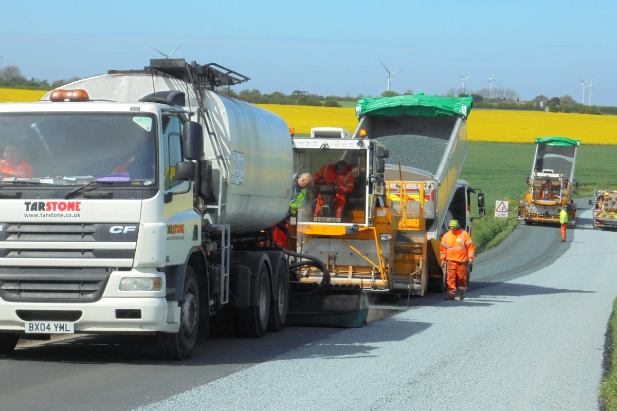
Surface dressing is a fast and cost-effective method of fixing, preserving and prolonging the lifespan of a road, and it is carried out annually by the council’s own highways maintenance team.
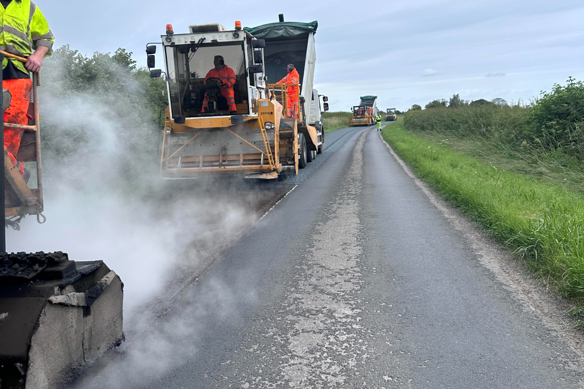
The work consists of applying hot, adhesive bitumen on the road, covering it with chippings and then rolling them in.
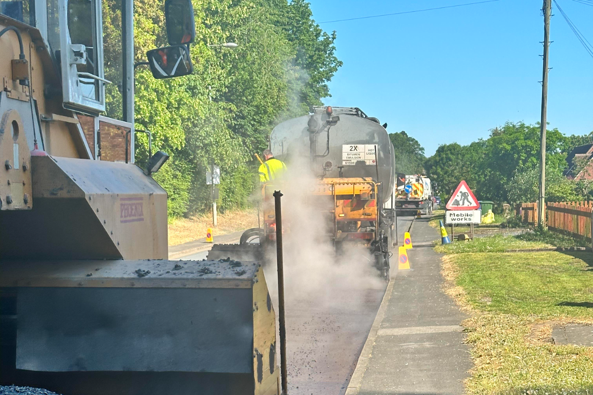
Afterwards, road sweepers clear away any loose chippings after a few days. New road markings are then put down as quickly as possible.
The process actively reduces the risk of potholes forming as it seals the road and stops water from entering and damaging the surface. It also greatly improves skid resistance for vehicles.
The process is carried out during the spring and summer months as it requires warmer temperatures for the bitumen and chippings to take effect.
Different roads are chosen for surface dressing each year across the East Riding, from those needing the most attention.
Cllr Paul West, the council’s cabinet member for environment and transport, said:
“Our annual surface dressing plays a vitally important role in protecting the East Riding’s roads and defending against potholes and other damage.
“Our teams will be working in more than 100 locations across the area this spring and summer and we’d like to thank residents and motorist for bearing with us while this work is carried out.”
Surface dressing forms part of the council’s planned highway maintenance programme.
Residents and drivers will be informed before the works begin. A leaflet will be sent to all residents who will be impacted by the works and advance warning signs will be put up on the roads beforehand.
During and after the work temporary 20mph speed limits are in force on the treated roads to reduce the possibility of vehicles skidding on the loose chippings and will be removed when the new road markings have been installed.
Disruption to traffic will be kept to a minimum, but drivers are asked to respect the 20mph speed limit that will be in place to protect both the travelling public and the council’s workforce.
After the surfacing dressing is complete, any loose stone chippings left behind won’t go to waste.
Mechanical road sweepers are used to collect up all the loose chippings, which are then stored.
Then every two years the council hires a giant industrial washing and grading machine to clean all the loose chippings so they can be recycled and reused on the roads the following year.
The process recycles more than 7,000 tonnes of chippings and saves around £60,000 of council tax payers’ money.
The roads to be dressed include:
| Parish | Road Name |
|---|---|
| Bempton | Flamborough Road |
| Bempton | Gillus Lane |
| Bempton | High Street |
| Bempton | Newsham Hill Lane |
| Bishop Wilton | Hatkill Lane |
| Bridlington | Fortyfoot |
| Bridlington | Kingston Road |
| Bridlington | Queensgate |
| Bridlington | Scarborough Road |
| Buckton | Main Street |
| Driffield | Newland Avenue |
| Flamborough | Chapel Street |
| Flamborough | North Marine Drive |
| Flamborough | Woodcock Road |
| Full Sutton | Hatkill Lane |
| Grindale | Boynton Lane |
| Grindale | Mereside |
| Harpham | Harpham Lane |
| Kirkburn | Manor Farm Road |
| Nafferton | Scarborough Road |
| North Dalton | Main Street |
| North Dalton | North Dalton Road |
| Ruston Parva | Main Street |
| Stamford Bridge | Moor Road |
| Thwing | Kilham Lane |
| Thwing | Seamer Road |
| Warter | Main Street |
| Warter | North Dalton Road |
| Warter | Road between Dalton Rd & Huggate Rd |
| Wetwang | Main Street |
| Wetwang | York Road |
| Barmby on the Marsh | Oakfield Avenue |
| Barmby on the Marsh | South Street |
| Barmby on the Marsh | Station Lane |
| Barmby on the Marsh | Stocks Lane |
| East Cottingwith | Green Lane |
| East Cottingwith | Langrickgate |
| East Cottingwith | Red Cap Lane |
| East Cottingwith | Whitegate Lane |
| Goole | Chiltern Road |
| Goole | Western Road |
| Holme on Spalding Moor | High Street |
| Holme on Spalding Moor | Market Weighton Road |
| Howden | Applegate |
| Howden | St Johns Street |
| Howden | St Peters Close |
| Pocklington | Orchard Close |
| Pocklington | Orchard Gardens |
| Pocklington | Orchard Way |
| Pocklington | Sherbuttgate Road North |
| Pocklington | Sherbuttgate Road South |
| Pocklington | Southfield Court |
| Pocklington | St Johns Close |
| Pocklington | Westfield Close |
| Pocklington | Westfield Road |
| Shiptonthorpe | Towthorpe Lane |
| Wressle | Willitoft Lane |
| Aike | Aike Lane |
| Aike | Chapel Lane |
| Beverley | Armstrong Way |
| Beverley | Dog & Duck Lane |
| Beverley | Flemingate |
| Beverley | New Walkergate |
| Beverley | Ropery Close |
| Beverley | School Lane |
| Beverley | Spencer Street |
| Beverley | Walkergate |
| Beverley | York Road |
| Bishop Burton | Dog Kennel Lane |
| Etton | Fisher Street |
| Lockington | Aike Road |
| Lockington | Front Street |
| Lockington | Station Road |
| Lund | Heater Corner to Cow Bridge |
| Lund | Heater Corner to Middleton Road |
| Molescroft | Alpha Avenue |
| Molescroft | Danesway |
| Molescroft | Pighill Lane |
| Molescroft | Saxon Rise |
| Molescroft | Woodhall Park |
| Molescroft | Woodhall Way |
| Woodmansey | Beverley Parklands |
| Woodmansey | Hull Road |
| Woodmansey | Hull Road |
| Woodmansey | Minster Way |
| Woodmansey | The Glen |
| Woodmansey | Woodmans Way |
| Anlaby | Beverley Road |
| Anlaby | Springfield Way Access Road |
| Brantingham | Burrill Lane |
| Brantingham | Ellerker Road |
| Brantingham | Main Street |
| Brantingham | The Green |
| Hessle | Heads Lane |
| South Cave | Brough Road |
| South Cave | Jarrett Hills Lane |
| South Cave | Market Place |
| South Cave | Station Road |
| South Cave | Stonepit Lane |
| Walkington | Beverley Road |
| Willerby | The Parkway |
| Atwick | Hornsea Road |
| Atwick | Skipsea Road |
| Beeford | Beverley Road |
| Beeford | Skipsea Road |
| Brandesburton | Bridlington Road |
| Burstwick | Pinfold Lane |
| Burton Pidsea | Main Road |
| Catwick | Riston Road |
| Catwick | Rowpit Lane |
| Coniston | Hull Road |
| Coniston | Northfield Road |
| Ellerby | Lanbwath Lane |
| Elstronwick | Fieldend Lane |
| Hedon | Magdelengate |
| Hedon | Souttergate |
| Hollym | Holmpton Road |
| Hollym | Manor Lane |
| Hornsea | Brooke Drive |
| Hornsea | Greenacre Park |
| Hornsea | New Road |
| Humbleton | Lelley Road |
| Keyingham | Griffiths Way |
| Keyingham | Melville Close |
| Keyingham | Russell Drive |
| Keyingham | Saltaugh Road |
| Long Riston | Catwick Road |
| Long Riston | Rise Lane |
| Ottringham | Chapel Lane |
| Ottringham | South End Road |
| Ottringham | Station Road |
| Partrington | High Street |
| Preston | Staithes Road |
| Preston | Wyton Road |
| Rise | Rise Lane |
| Skipsea | Beeford Road |
| Skipsea | Hornsea Road |
| Skirlaugh | Hull Road |
| Skirlaugh | Main Road |

 Bridlington Could Have One Large GP Practice for Entire Town
 Children's Online Safety Knowledge Improves but Risks Remain Says North Yorkshire Survey
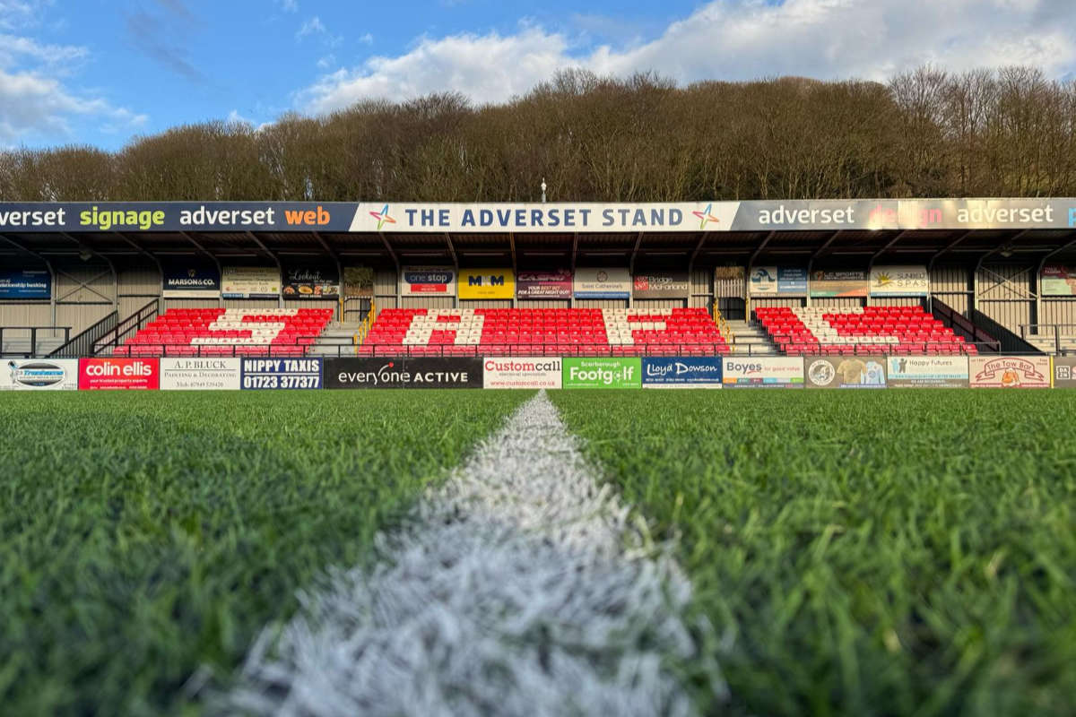 Former Scarborough Athletic Chairman Expresses Confidence in Ground Issue Resolution
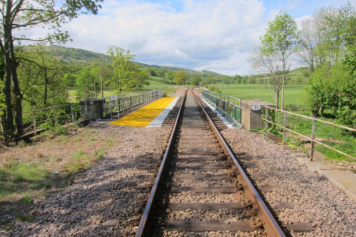 Esk Valley Community Railway Backs Train Use for Whitby School Pupils
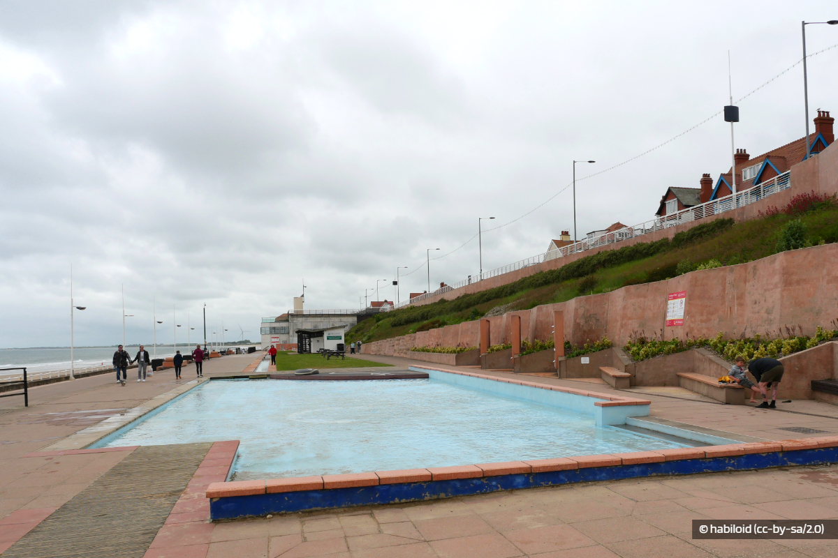 Concern Over Bridlington Paddling Pool Use
 Scarborough and Whitby MP Raises Concerns Over PIP Changes at Prime Minister's Questions
 Yorkshire Coast Towns Could Get Share of £1.2m Investment
 Scarborough Charity's Future Fears
 Hornsea Lifeboat Member Among London Marathon Runners
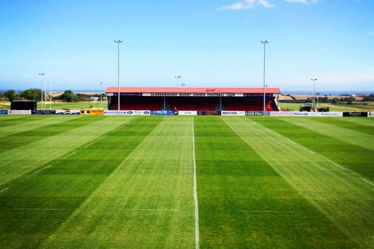 Scarborough Rugby's Cup Progress
 Mixed Results For Yorkshire Coast Cricket Sides
 Scarborough Athletic Miss Out On Top Half Spot


Comments
Add a comment